Scratching A Long Time Bucket List Itch
The road has a reputation for being long, difficult, not for the faint of heart. Having recently completed the drive, I can assure you that the reputation is well deserved.
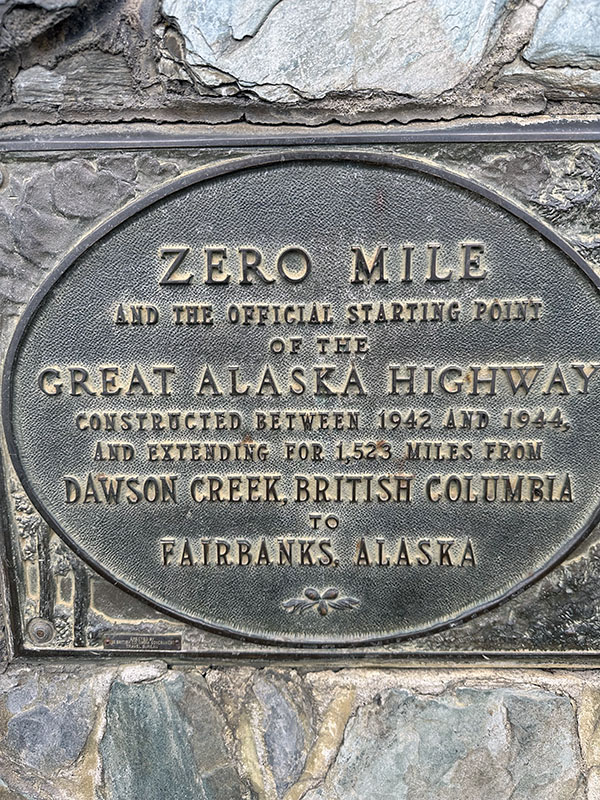
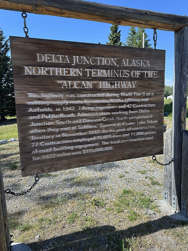
It’s called The Alaska Highway. Often referred to as the Alaska-Canadian Highway, or simply the Al-Can, it runs almost 1,500 miles from Dawson Creek, British Columbia to Delta Junction, Alaska. After the Japanese bombed Pearl Harbor in December, 1941, there were legitimate concerns that the Japanese were planning a land invasion through the Aleutian Islands, Alaska, Canada, and down into the United States.
The Journey Begins
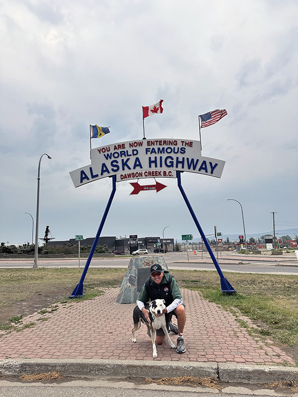
It begins here
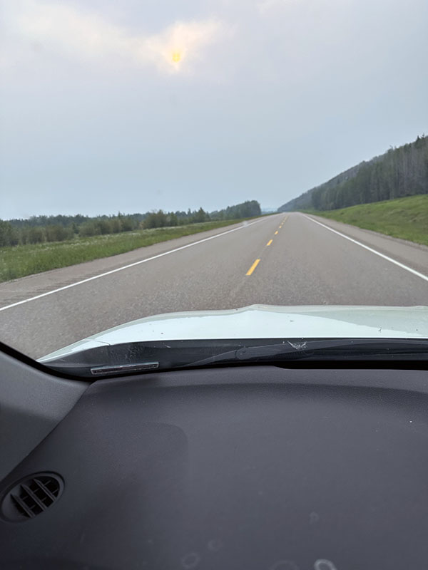
It begins benignly
In order to supply our troops stationed in Alaska, the idea of the road was created. Construction began in March, 1942 and completed only seven months later. Working continuously through the brutal Winter, over 11,000 Army troops labored down from Alaska southeast to meet another crew working Northwest from Dawson Creek. They met, much like the railroad crews driving the Golden Spike in Utah when they connected the East and West, about halfway at what is now called Contact Creek.
Initially dirt, gravel, unpaved, it is now two lane, mostly, paved road that has developed somewhat of a cult following. Who wants to do the Al-Can? Who’s tough enough, has enough time, is willing to commit to the challenge?
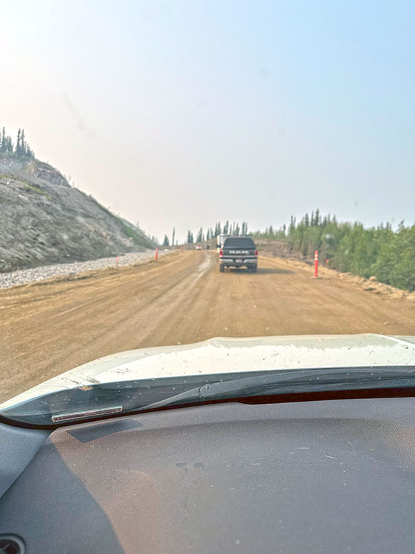
Not all paved
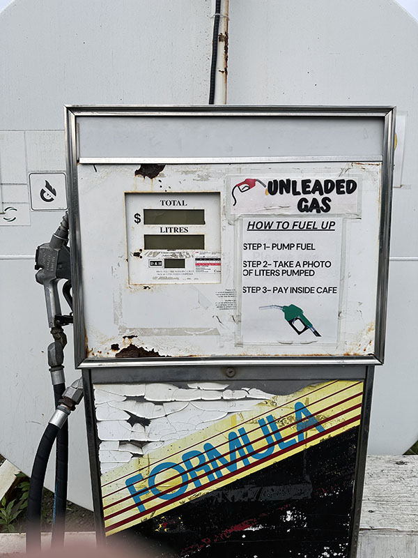
A “gas station” on the Al-Can
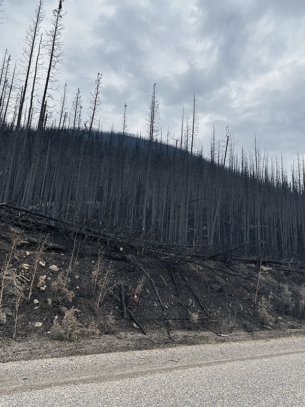
Driving through massive burn areas
Construction has improved the road, but long dirt patches remain. Construction causes delays. Permafrost causes the road to be damaged, to buckle, make the drive difficult in long stretches.
I did my research, at least what I could find. It said top off your gas tanks, take snacks, be prepared to do vehicle maintenance. All easy to say, but gas is available infrequently, may or not be available at an individual pump on a dirt patch alongside the road. No gas stations here. Snacks, water. No convenience stores where you can get a Twinkie and use the restroom. There are very few road signs. Maybe one as you leave an area telling you how far the next “wide spot” may be (and all information in Canada is metric system, so you need to be able to compute kilometers to miles if you want to have any idea where you are, or where you’re going).
Comfort Inn, Super 8, Econo Lodge? Sorry, not on the Al-Can. Lodging is very spotty, and when you can find it, very expensive. Bring your own lodging, a camper, Winnebago, trailer, van. Maybe a few, very few, passenger cars make the drive, a few motorcycles. I had to car camp a few times. I’m too old for that, but it was necessary.
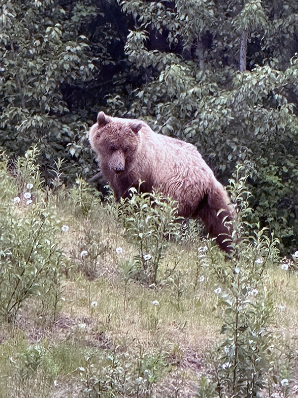
A Beautiful Griz
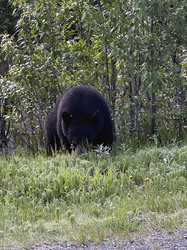
The Black Bear
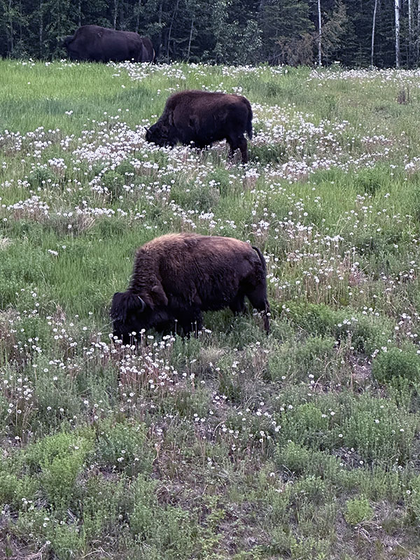
The Buffalo
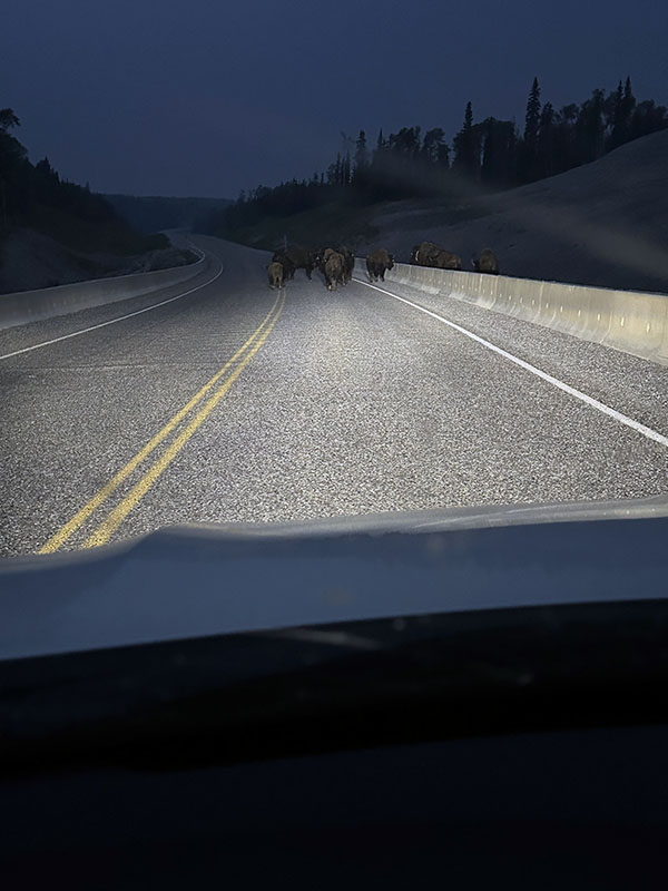
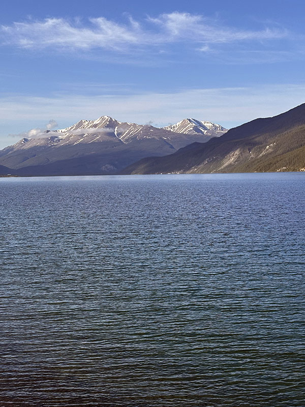
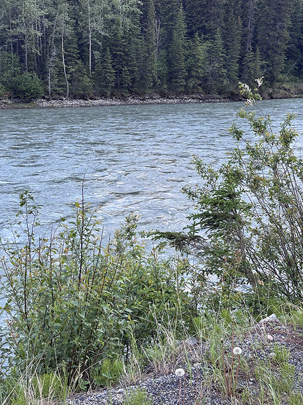
But the scenery, the wildlife. Buffalo herds walking down the road, black bear roadside, even the occasional, rarely spotted, Grizzly. Moose and wild horses, caribou (Santa’s reindeer). The lakes, the rivers, the mountains, even those scarred by wildfires that consumed millions, MIILLIONS, of acres as I drove through.
A Buffalo Roadblock
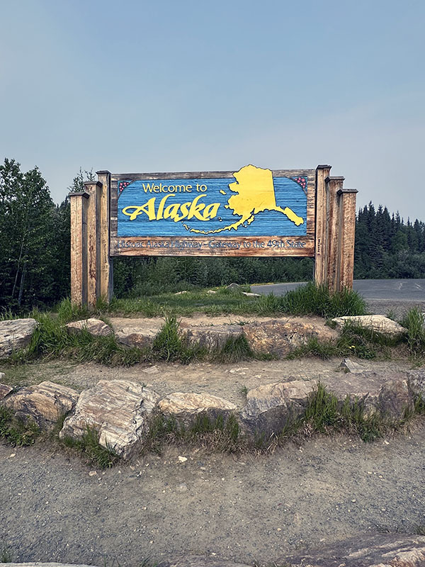
North to Alaska
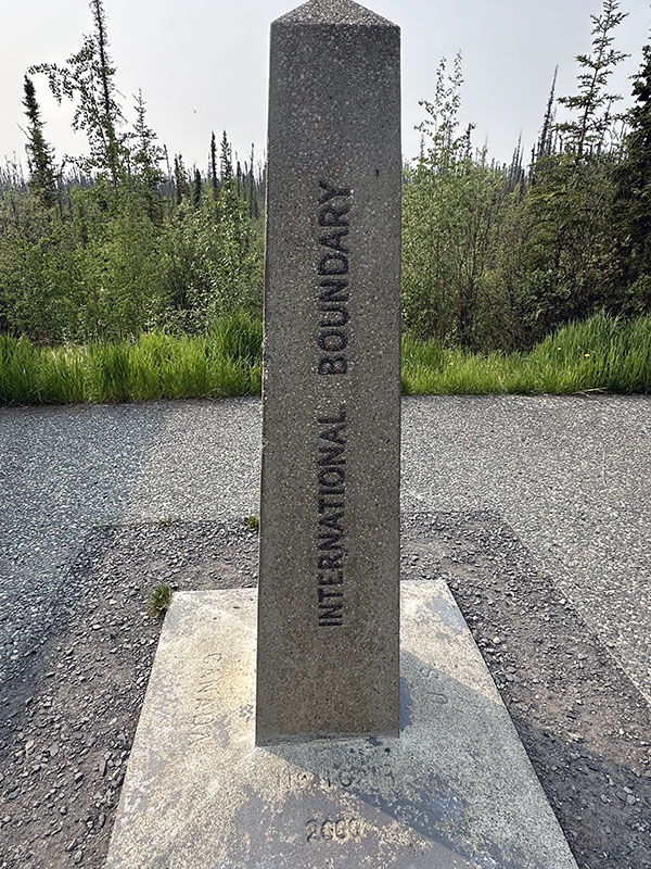
Yukon, Canada, Alaska boundary
The Lakes….
The Rivers…
To conclude, I’m not suggesting doing it, not doing it, but you need to know: this ain’t your basic road trip to visit grandma where you find gas stations at every exit, road signs giving you information, places to eat every few miles, auto repair facilities. This is the Alaskan bush. Hearty country with hearty people, both those few living there, and the few making the drive. But, after all is said and done, personally, I feel good, proud, that I did it.
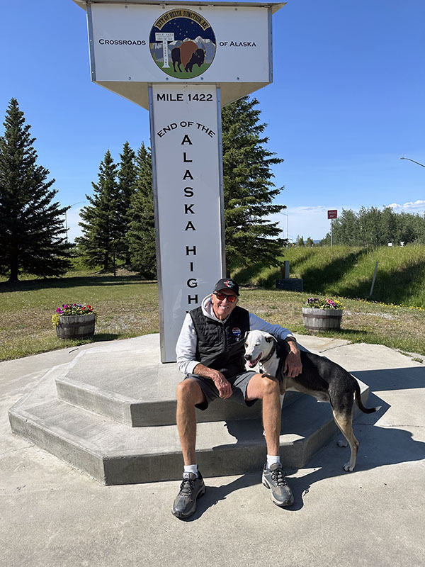
It ends here
Bailey and I complete the drive

